20.02.17
Day Trip 4 – Navigation/orienteering practice in local area
Our fourth Monday trip was the first that was organised by the International students. The group which was responsible consisted of Simon, Timon, Emma, Melanie and me. Our plan was to hide little riddles in the woods that was supposed to be found with the help of a map which just showed contour lines of Jegersberg.
Melanie, Emma and I went to Jegersberg earlier to buy ourselves enough time to hide all the riddles. It took us about two hours to set everything up. Simon and Timon were picking the other students up at Spicheren and then went to Jegersberg all together, where they gave out little cards with animals on them. To find each other in a group people had to imitate the animals shown on their cards by gestures and by sounds. Afterwards each group was given the map which just showed the contour lines of Jegersberg and the spots where the riddles could be found. Then they were sent out to find the riddles. By the time Melanie, Emma and me had returned the students were already gone. Unfortunately we had to realise that none of the Norwegian Students had shown up. Nobody informed us they were on vacation, which we found out later and which we could have considered in our planning.
However we didn’t have to wait long until the first groups already came back to the meeting point. They didn’t seem happy about our task and told us it has been to difficult to navigate through the woods with this sort of map. So when the last group arrived after finding just two out of twelve riddles we had to admit that our task was simply to difficult to realise.
During the reflection, we concluded that if people could have compared the normal orienteering map of Jegersberg with the one that just showed the contour lines and the marked spots, it would have been possible and way easier. Unfortunately we underestimated the difficulty of our own task, so for the next time we are going to try to adjust it to the ability of the group.
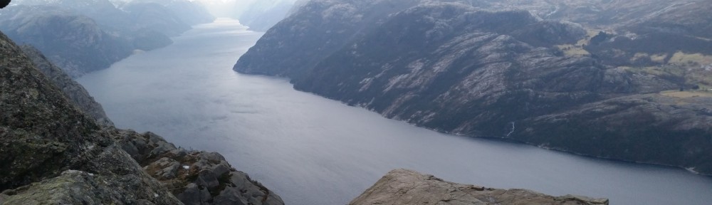
Normal orienteering map of Jegersberg.