MONDAY 27TH JANUARY
WHAT? On Monday the 27th January, the Norwegian Friluftsliv class conducted a session based around orienteering and compass work. First of all, Jaymee, the group leader from the Norwegian class split both classes into “teams/groups” based on our experience and knowledge in relation to map and compass work. I was put into group 2, alongside Stefan, and two Norwegian students, Emilie and Dagny.
The first activity of the day was an orienteering course through Jegesberg where we were only allowed to use the maps provided by Jaymee and his group mates. All groups were instructed to take creative photos at their checkpoints. This was followed by a short lunch break around a fire. Shortly after this, we played a game of Hide and Seek, but using a compass bearing to find the hidden object.
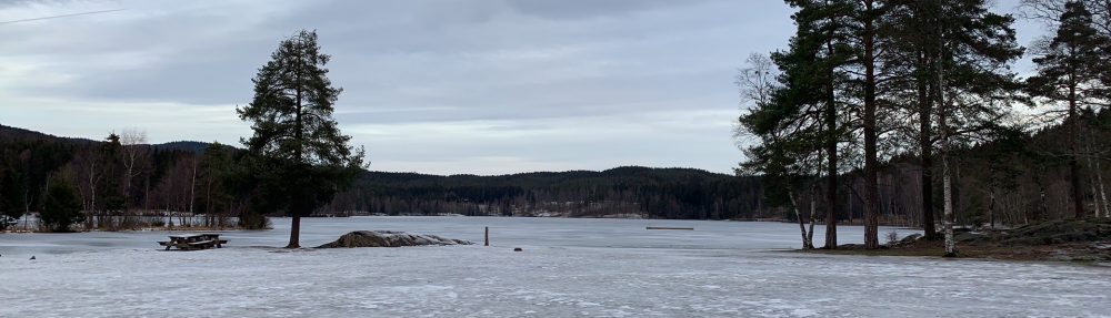
WHERE? The groups initial meeting point was at the Gapahuks near the University. The orienteering segment took place in Jegesberg, where group 2 was instructed to walk to checkpoints 2 and 5. The Hide and Seek game was played near the Gapahuks and playgrounds.
WHY? The groups were evenly split based on knowledge and experience with maps and compasses. Stefan and I are both quite experienced and were confident, so we were paired with the two Norwegian girls, Emilie and Dagny, as they did not think that they had good skills.
The groups were instructed to take creative pictures at each checkpoint to ensure that they did not cheat and not go to their checkpoints. This also acted as a form of motivation as it created a competition between all the groups to see who was most creative!
The aims of today’s session were to further improve our skills when using an orienteering map and introduced the concept of using a field bearing. Reading a map and using a compass are two very important elements when navigating so the more practice we have at it, the better we will be out in the field on our self-organised field trips.
MY REFLECTION In comparison to the previous 2 Monday sessions, todays group was highly organised, and the activities supported multiple aspects of group development. The tasks were explained in a coherent manner however from my perspective, the final activity which was the group vs group question game was not needed as some questions did not fit with the themes of map and compass.
WHAT CAN I TAKE FROM THIS EXPERIENCE? From this experience I can tell that the Norwegian group were very well organised, and I aspire to be like this when it is the International students turn to lead the Monday sessions. Furthermore, I believe I still have room for improvement when using an orienteering map as I have not had too much experience with this; I am used to using a compass and taking field bearings or walking on marked hiking trails.
